
DEATH VALLEY
In the liminal space between subtlety and splendor.
INTRODUCTION
There are a litany of superlatives California could lay claim to, and most of them are in Death Valley. Adjectives such as largest, hottest, driest, highest and lowest boast of the desert’s staggering diversity. For the record (or your next pub quiz), Death Valley National Park is the largest in the contiguous states. It is both the hottest and the driest place in North America. From Dante’s View, one can see the lowest point in the lower 48 (Badwater Basin, -282 feet) and, 85 miles to the west, also the highest (Mt. Whitney, 14,496 feet).
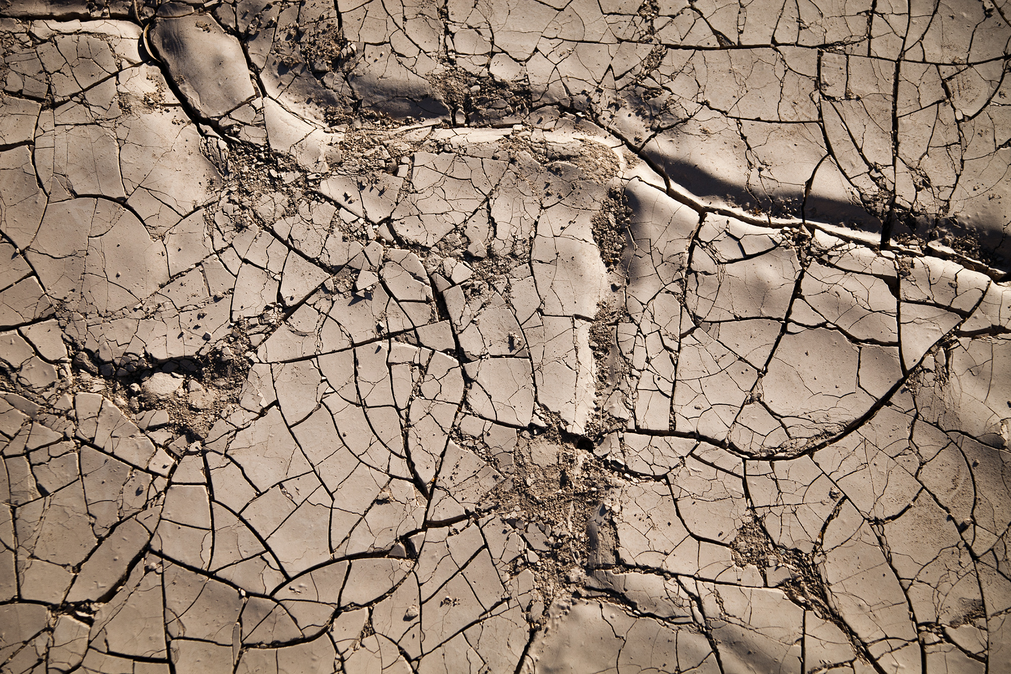
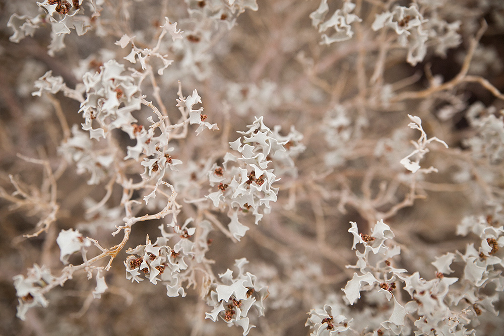
All of this gloating belies the essential truth about Death Valley, though, which is this: the devil is in the details. Sure, at first you’ll find yourself humbled by the immensity of it all: The technicolor grandeur of a desert sunrise, or the serrated peaks of the Panamint Range spiking ten thousand feet from the valley floor. You’ll marvel at the curling quartz waves of the Mesquite dunes or the tenacity of Death Valley’s earliest settlers. But eventually that will wear off, and the real beauty will emerge: The pale color variations of oxidizing minerals. The intricate fissures on the ground beneath your feet. The silence. In the liminal space between subtlety and splendor, Death Valley reveals its very best. You just have to know where to look.

Panamint Springs and Stovepipe Wells
There are several ways to approach Death Valley, but our personal favorite forks east from U.S. Route 395 on SR 190, which climbs the Inyo Mountains before descending into Panamint Valley (one of two major valleys in the park). After all, the views are what you came for, right?
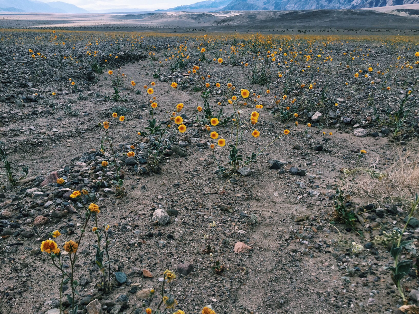
It goes without saying that the best time of year to visit Death Valley is any season not called "summer." Late winter/early spring has the added incentive of a potential wildflower bloom.
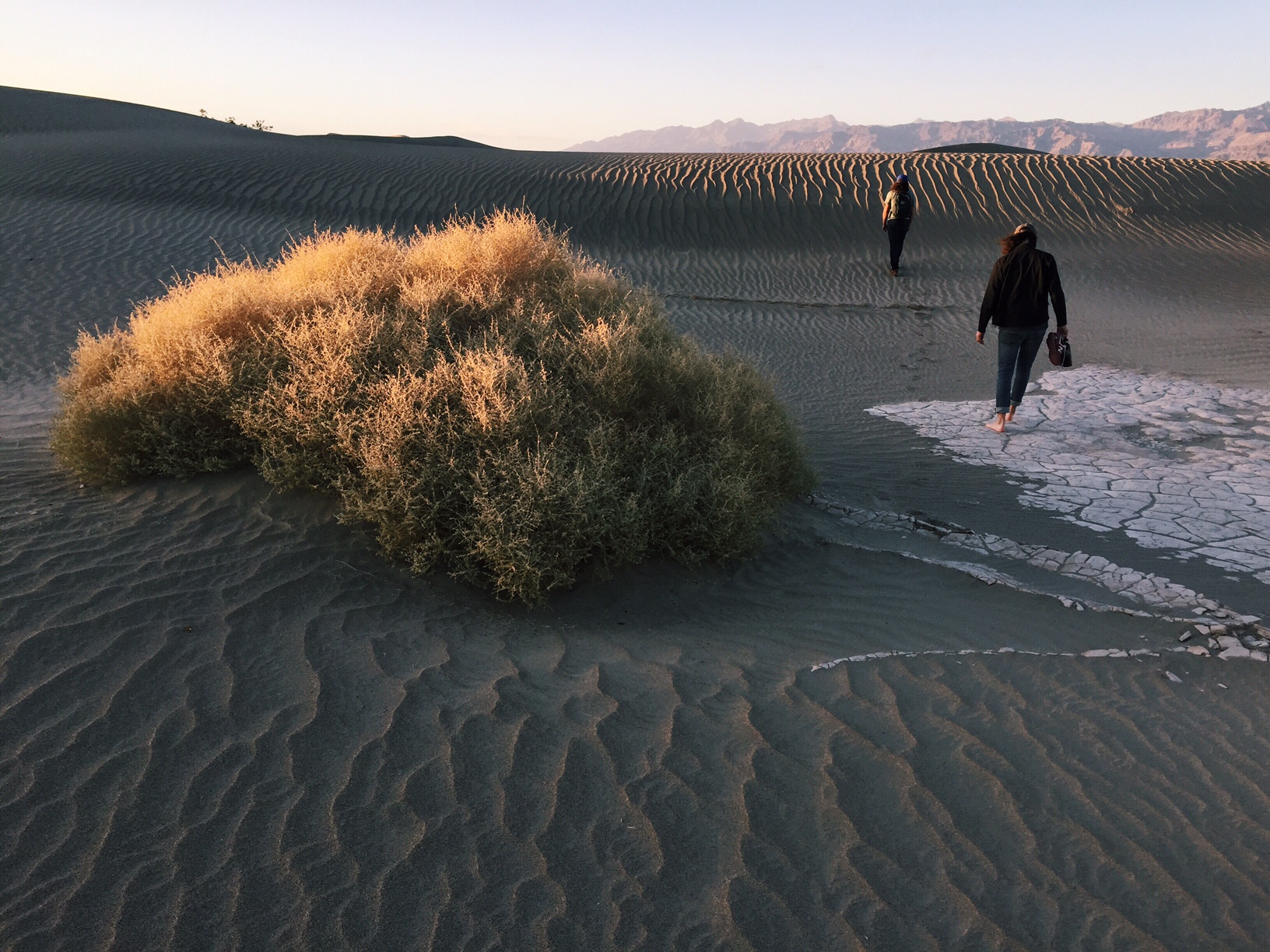
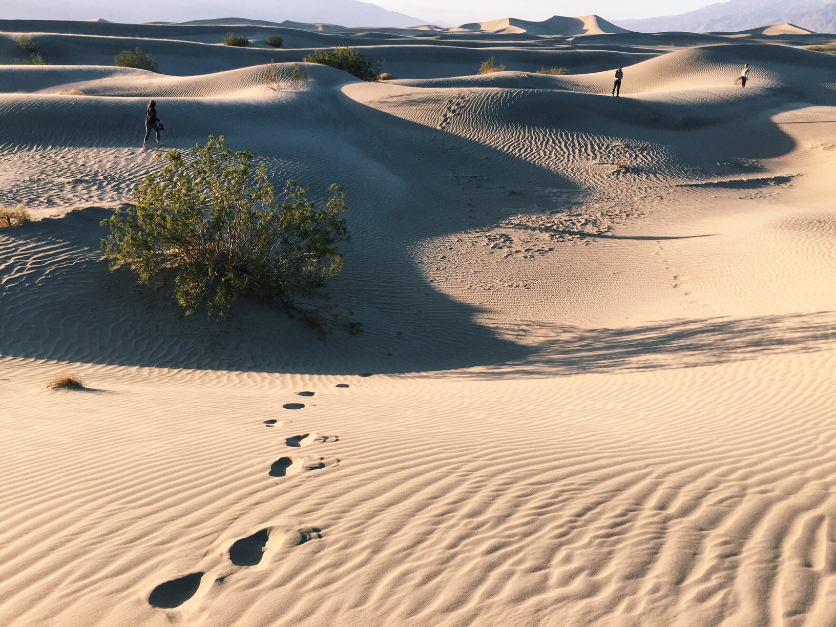
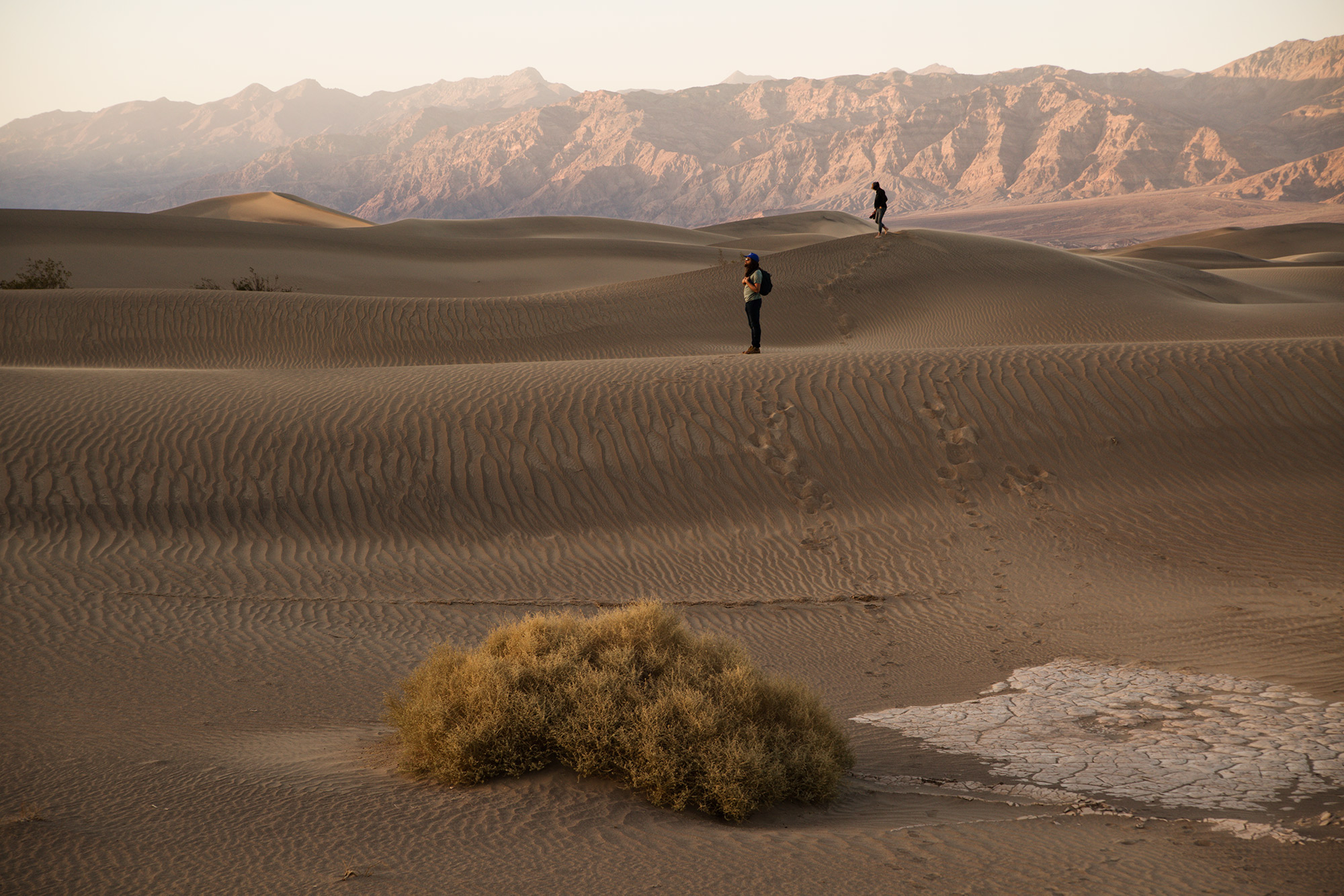
After dropping down into Panamint Valley, set up camp or grab a bite in Stovepipe Wells. From there, it's a short drive to both Mosaic Canyon and Mesquite Flat Sand Dunes. One of the best times to see the dunes is during late afternoon when the setting sun draws long shadows over the undulating landscape.
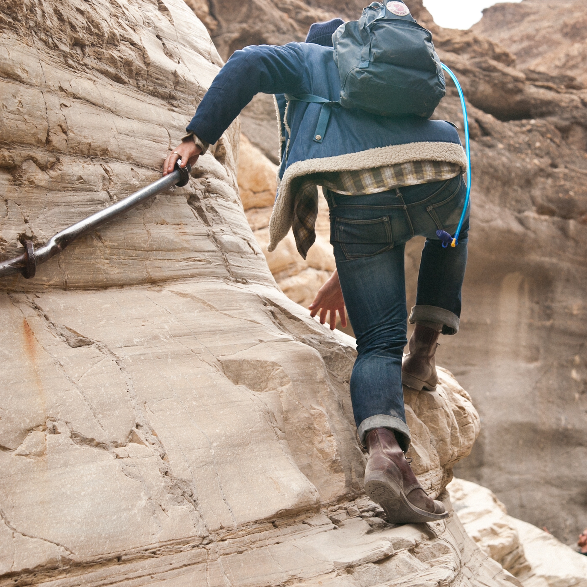
From Stovepipe Wells, continue north toward Scotty's Castle and, if you're driving a high-clearance vehicle, ponder the mystery of The Racetrack: a playa that's home to mysteriously moving rocks.
“Wander the salt flats and marvel at the unearthly silence surrounding you.”
Friends in low places
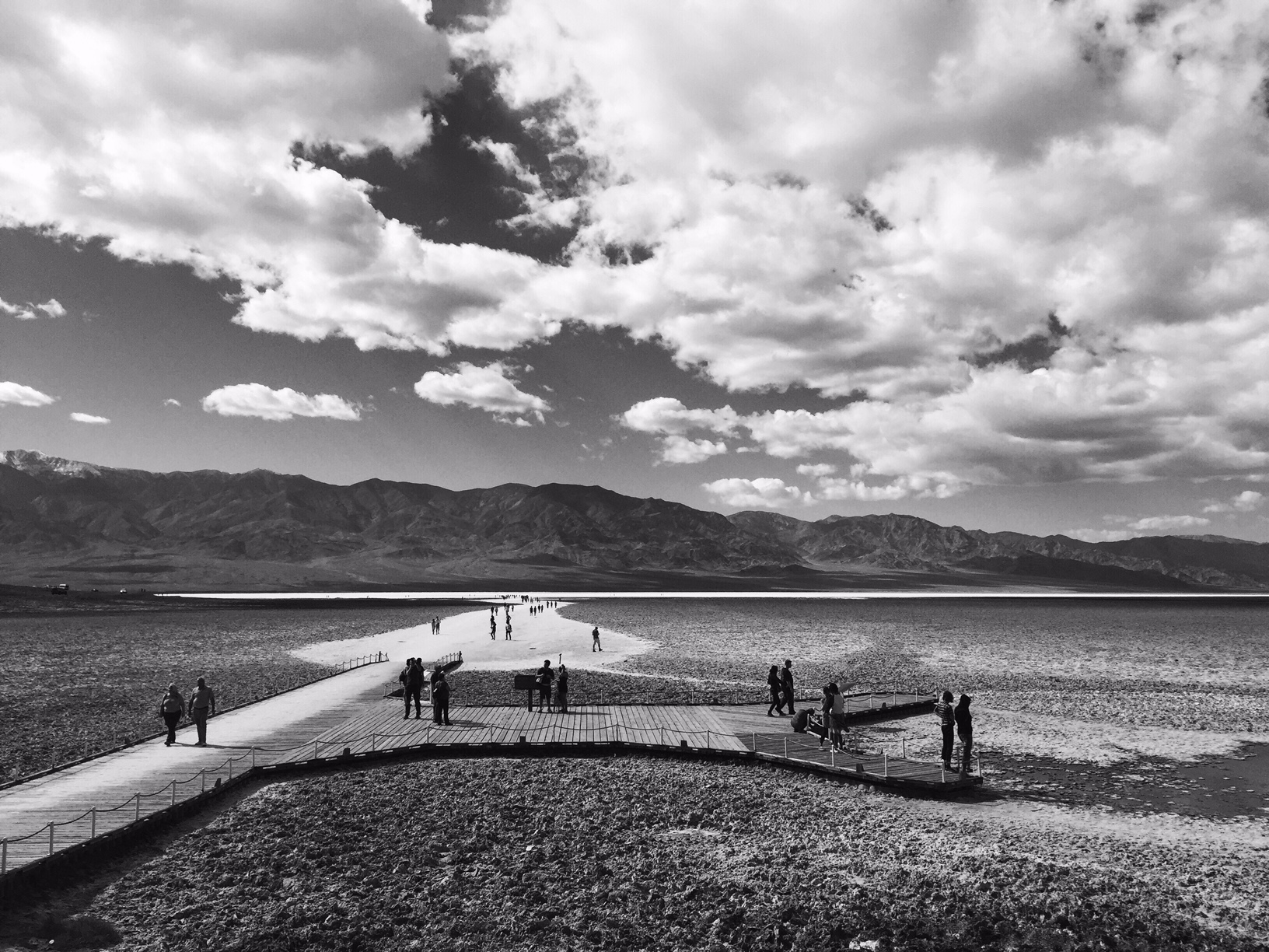
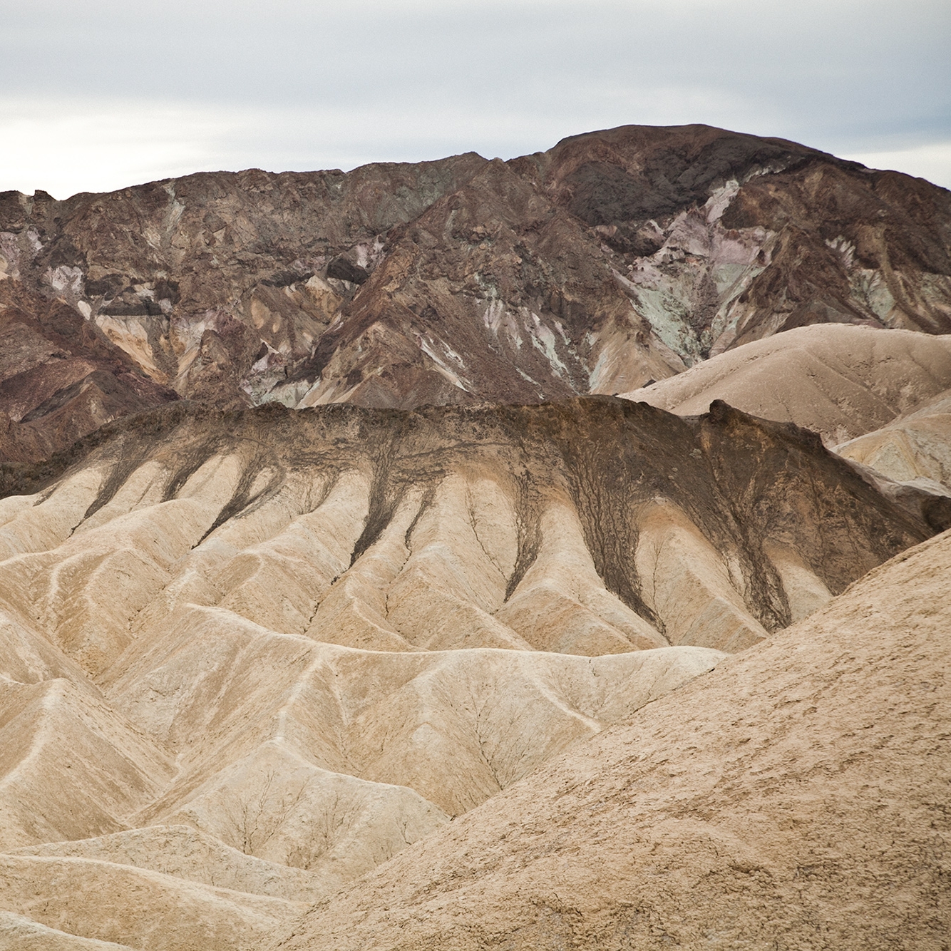
Begin a long drive south toward Furnace Creek (there's cell coverage, food, camping, and lodging here, as well as, somewhat inexplicably, a golf course). Zabriskie Point offers a sweeping view of Death Valley's badlands. Once again, the best time to take in these striated peaks is early morning or late afternoon when the sun is low on the horizon. Continue on toward Badwater Basin, North America's lowest (and eighth lowest worldwide) point at 282 feet below sea level. Wander the salt flats and marvel at the unearthly silence surrounding you.
The best way to explore Death Valley is to take note of the signs along the way. They'll point you to the Park's best features, from a natural bridge to the remains of a borax refinery.
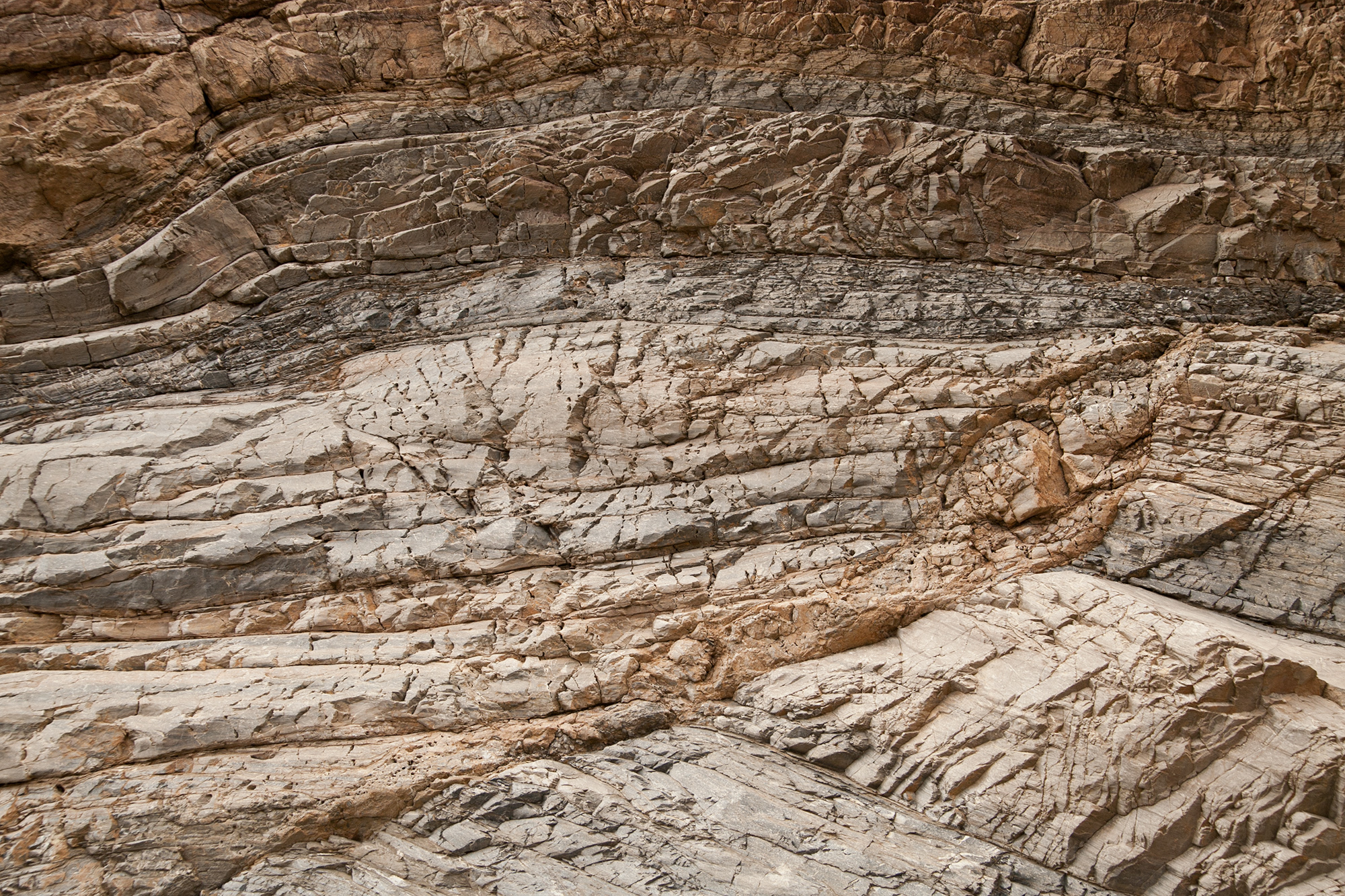
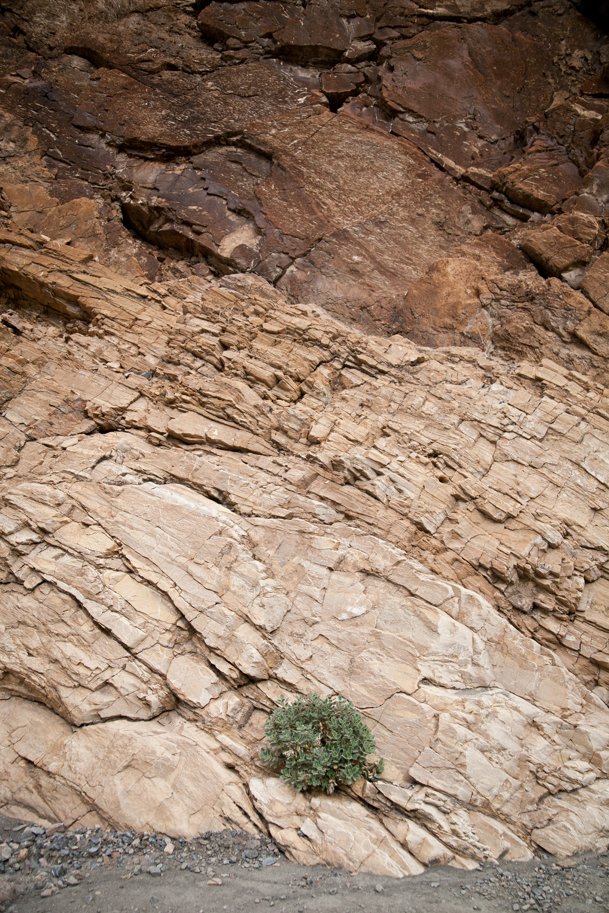
Take extra time to explore the Artist's Drive, a nine-mile one-way road that slithers through a canyon cut through the Black Mountains. Don't let the mountain's namesake color dissuade you, though: The hills you're about to see are veined with vibrantly-hued minerals. Oxidization is the culprit for this vivid phenomenon, and the result is an otherworldly drive through a patchwork of colorful hills.

A worthy detour
It's worth it to exit the park near its southern entrance. It's worth the detour from SR 127 as it winds slowly toward Interstate 15. It's worth the grating gravel road and plumes of dust as you pass abandoned mines. It's worth the extra hour it'll take you to get there. At the end of a slow-going road, where the Amargosa River and China Ranch Creek converge, sits China Ranch Date Farm, a lush oasis in the middle of absolutely nowhere. Wander among the cottonwoods, willows, and date palms. Explore one of several hiking trails that are dotted with machinery and vehicles of a time long since passed. But the real draw here, apart from the gurgling streams and abundant history and exuberant palms, are the date shakes. Order one for the exploration and one for the road. Trust us; it's worth it.
